Peter Lobner
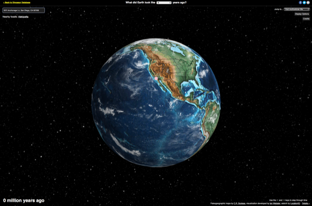
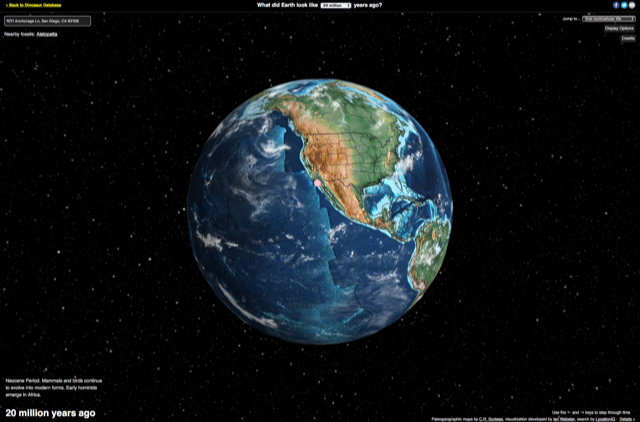
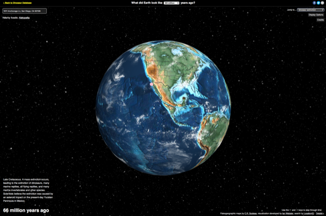
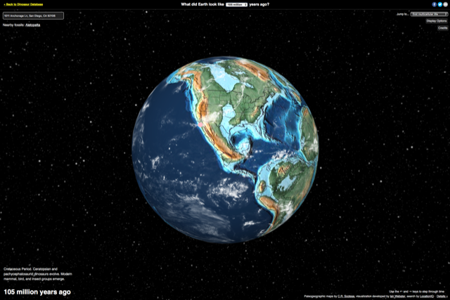
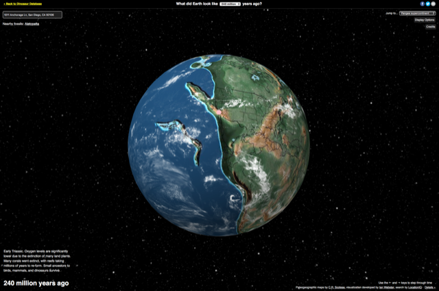
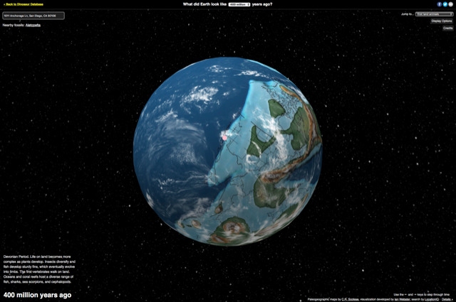
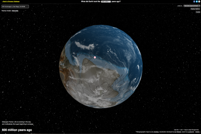
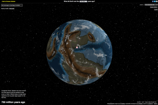
A 15 February 2019 article by Meilan Solly in the Smithsonian online magazine describes a recently released interactive map of the world that shows how the Earth’s continents have moved since 750 million years ago. With your cursor, you can zoom in and rotate the globe in any direction. Using a pull-down menu at the top center of the screen, you can see the relative positioning of the landmasses at the point in time you selected. A similar selection box in the upper right corner of the screen allows you to select a particular geological or evolutionary milestone (i.e., first land animals) in Earths’ development. Even better, you can enter an address in the text box in the upper-left corner of the screen and then see how your selected location has migrated as you explore through the ages.
You can read the Smithsonian article here:
You can directly access the interactive globe here:
http://dinosaurpictures.org/ancient-earth#0
Following are screenshots showing what’s happened to the Lyncean Group’s meeting site in San Diego during the past 750 million years.
I hope you enjoy the interactive globe, with visualization created and maintained by Ian Webster, plate tectonic and paleogeographic maps by C.R. Scotese, and the address search tool by LocationIQ.